
A previous literature review of 102 peer-reviewed journal articles mentioning the Spanish plume paints an unevidenced, inconsistent, unclear, and inaccurate picture. For example, some authors correctly employ the original definition of the Spanish plume airstream as the dry elevated mixed layer, whereas others incorrectly apply the term to the surface (sometimes humid) airstream. Confusion extends to the origin of the airstream, which has been variously described as the Iberian Peninsula, northern Africa, or both, often unevidenced. Some air in so-called Spanish plumes does not even cross Spain.
In this presentation, we examine a 3-day long Spanish plume synoptic pattern and analyze the conditions that created the environment favorable for two episodes of convective storms within that period. In particular, the origin of the elevated mixed layer during this period challenges our preconceived notions of what an elevated mixed layer is. Specifically, some air parcels ending up within the elevated mixed layer do not necessarily pass across the Iberian Peninsula and, even those that end up in the warm capping inversion, are not heated by the surface. Model sensitivity experiments with changing the sensible heat fluxes and the terrain height further reveal the sensitivities of the airflow that creates a favorable synoptic environment for convective storms.
Finally, we discuss the relevance of our findings to those of the North American elevated mixed layer, recommending future research related to quantifying interactions with terrain through diurnal sensible heat fluxes and orographic flow modification to produce favorable environments for convective storms.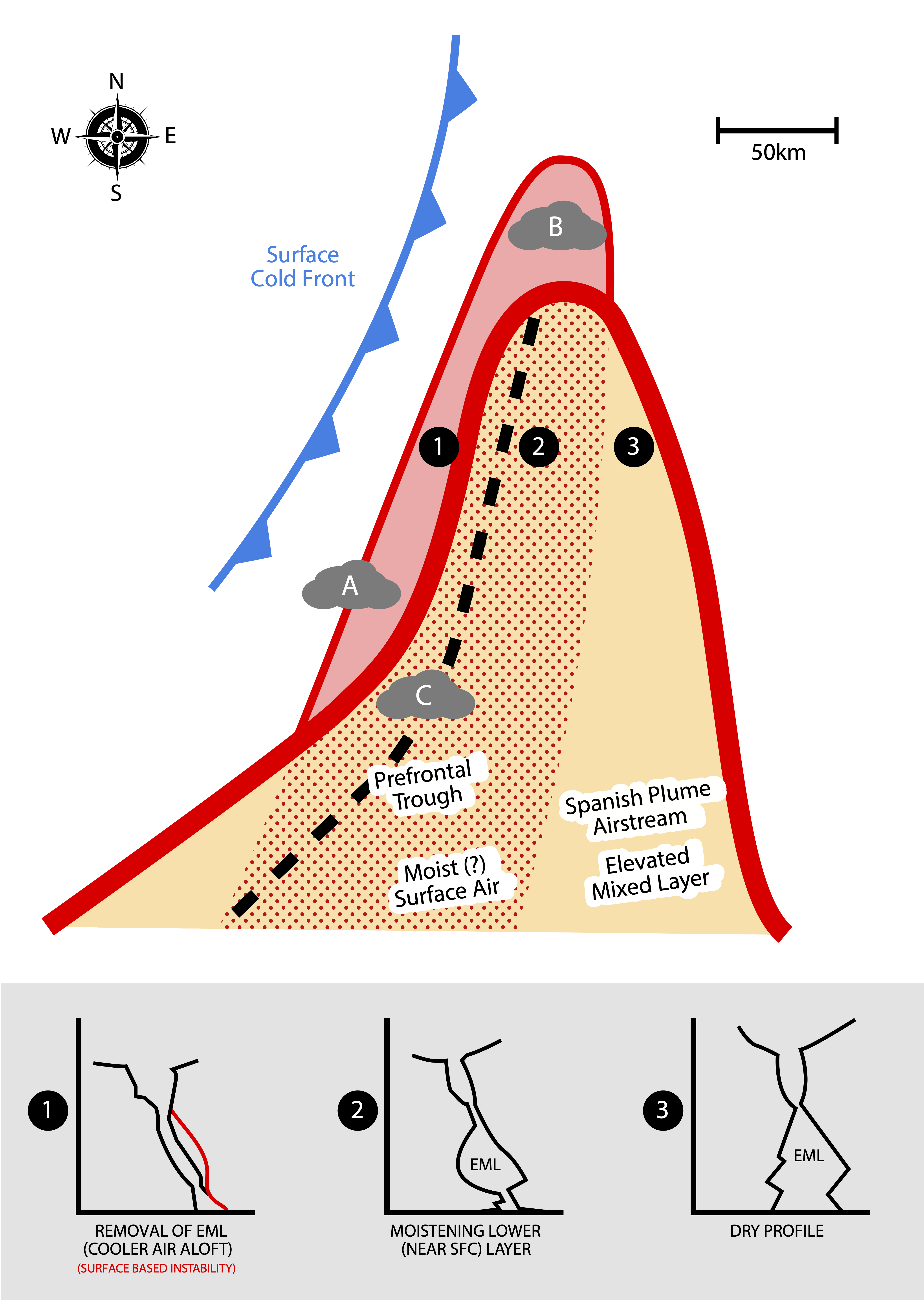
 - Indicates paper has been withdrawn from meeting
 - Indicates an Award Winner