
Tuesday, 14 January 2025: 2:45 PM
218 (New Orleans Ernest N. Morial Convention Center)
Handout (2.3 MB)
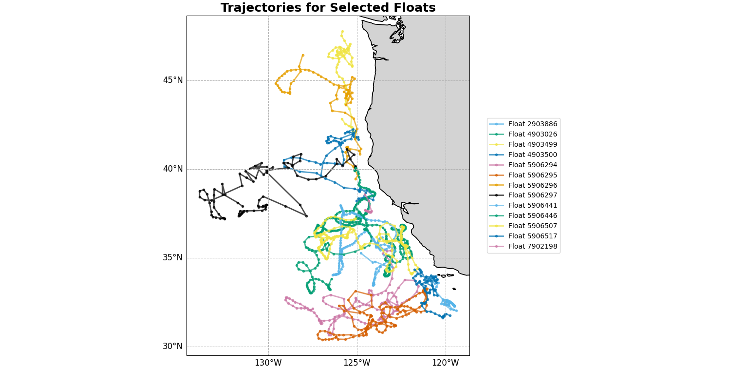
Argo is an international program that measures water properties across the world’s oceans using a fleet of robotic instruments that drift with the ocean currents and move up and down between the surface and a mid-water level. These data help scientists understand how the physical state of the ocean is changing over time. However, to utilize Argo data, scientists must have tools that are accessible, understandable, and fit within their workflow. Argo data are stored at Global Data Assembly Centers (GDACs) in NetCDF files, which offer access to the complete Argo data collection, including float metadata and profile data. To navigate to a specific float’s NetCDF files, the user must have information about the float, including its full ID, the data assimilation center it uses, and whether or not it is a biogeochemical float, as well as the ability to navigate the structure of the NetCDF file. The process is tedious and requires intimate knowledge of both the GDAC file system structure and the NetCDF file structure. Streamlining this process is the goal of the oneargopy library. By translating an existing MATLAB toolbox method into Python, which is becoming increasingly popular among scientists, we are simplifying the use of Argo data. The library can be used to select Argo float profiles based on geographic and time limits, with flexibility for more selection criteria to be added later. The trajectories of selected floats can be plotted, the scientific data from the NetCDF files can be loaded into a pandas dataframe, and section plots of variables from that dataframe can be plotted using a color map across depth and time.
Supplementary URL: https://github.com/NOAA-PMEL/OneArgoPy
 - Indicates paper has been withdrawn from meeting
 - Indicates an Award Winner