
This study proposes a workflow for 2D and 3D mapping of coastal landforms and land cover using rasterized datasets derived from high-resolution point cloud data. The point clouds, acquired via UAS-Photogrammetry or UAS-LiDAR, undergo a data preparation process to generate raster datasets that capture the geometric, radiometric, and spectral properties of various objects and land cover types. Utilizing advanced artificial intelligence (AI) techniques, specifically convolutional neural networks (CNNs), the prepared raster datasets are processed to extract features that effectively represent the study area. An autoencoder model is employed for unsupervised feature learning, and clustering techniques, such as K-Means or Gaussian Mixture Models, are used to segment the study area into homogeneous and heterogeneous regions.
The proposed workflow facilitates the creation of detailed 2D and 3D maps, accurately distinguishing between different landforms and land cover types. It demonstrates significant potential for precise mapping of diverse coastal features at the ground sampling distance (GSD) of the acquired data.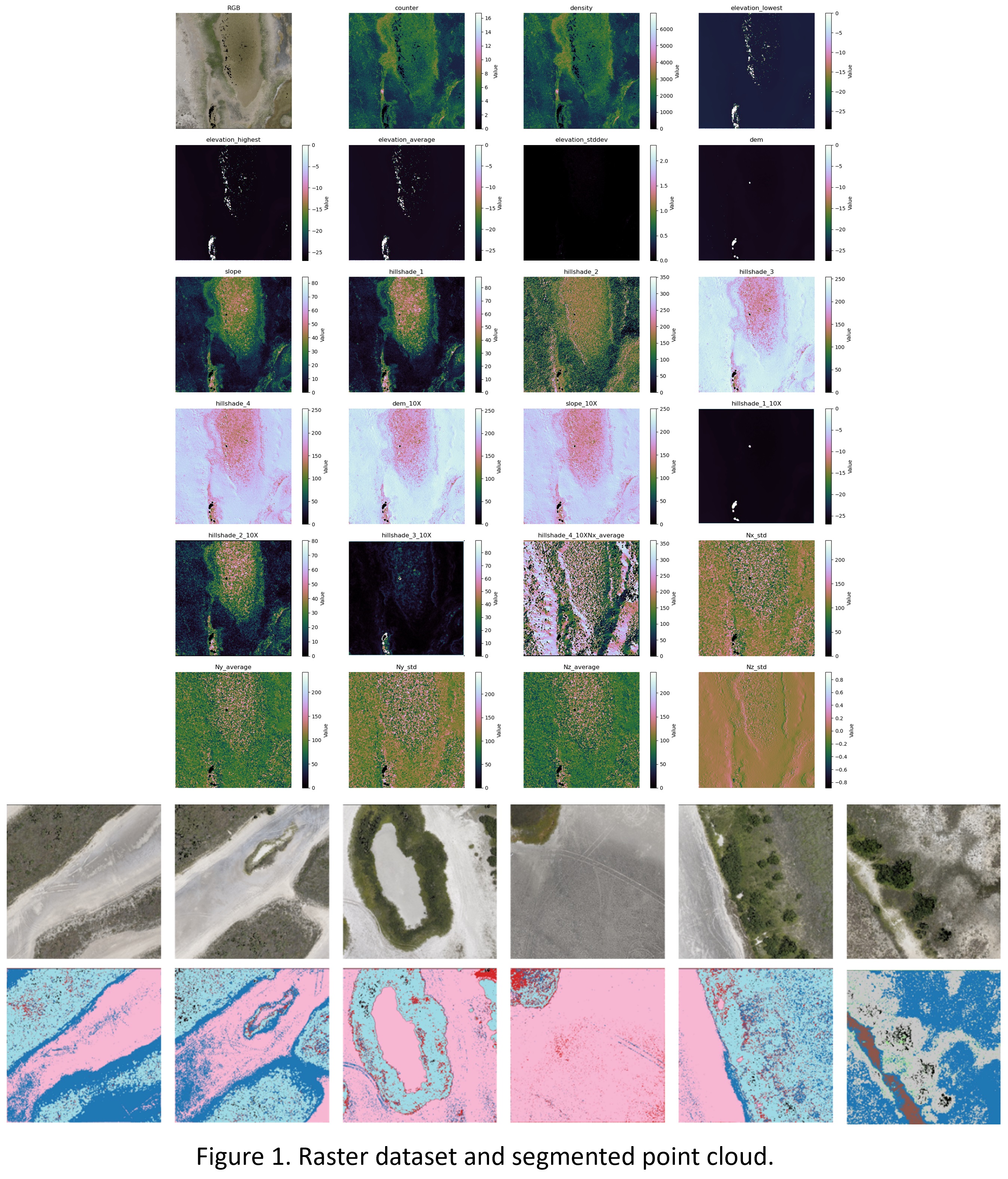
 - Indicates paper has been withdrawn from meeting
 - Indicates an Award Winner