
Visible, near-infrared, and longwave-infrared radiances from ABI have two main advantages over ground-based precipitation radar when predicting lightning: 1) ABI is not blocked by terrain and has no gaps in coverage over the domain of interest, and 2) ABI observes convective clouds often before significant radar echoes are detected. The main advantage that precipitation radar has over ABI is the ability to detect liquid and ice particles inside the cloud, which are better correlated to lightning potential than observations of the cloud exterior.
This research explores the benefits and caveats of incorporating radar data from the Multi-Radar Multi-Sensor network (MRMS) with data from the ABI bands found in LightningCast. Questions we seek to answer include: 1) does the MRMS data improve predictions under thick-ice anvils? 2) How is the lead time to lightning initiation affected by MRMS inclusion? 3) Does the skill of predictions in no-radar regions remain the same? Ultimately, this research seeks to answer if the strengths of both geostationary satellite and ground-based radar data can be exploited together to improve lightning nowcasting.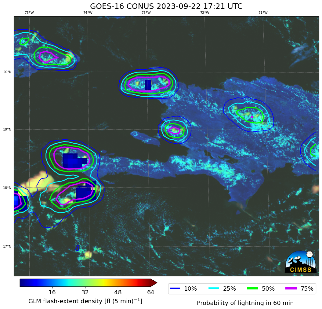
 - Indicates paper has been withdrawn from meeting
 - Indicates an Award Winner