
Tuesday, 14 January 2025: 9:00 AM
334 (New Orleans Ernest N. Morial Convention Center)
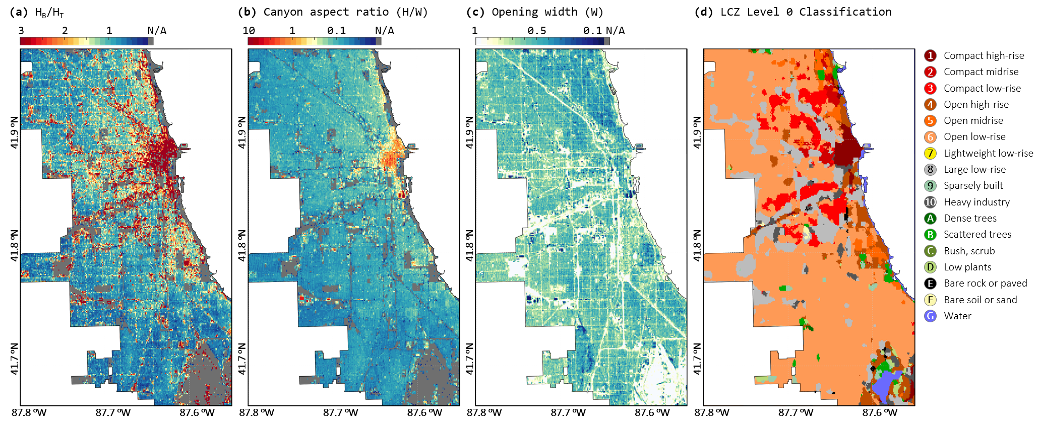
The roughness element of urban land surface is defined by the tall surface objects that have an apparent rise over the horizon, such as trees and buildings. Their vertical measurements will determine the flow fields in urban street canyons, subsequently affecting microclimate, noise levels, and air quality in the built environment. However, precise height information is less commonly available and rarely utilized in urban climate models compared to 2D land use and land cover data. To address this gap, we precisely mapped the Heights of Trees And Buildings (HiTAB) across the Chicago Metropolitan Area (CMA) at 1-meter spatial resolution using a data fusion approach that integrates high-precision LiDAR point cloud data, building footprint inventory, and multi-band satellite images. This co-investigation of tree and building heights enables accurate urban land surface parameterizations from real-world data. Using this dataset, we defined the height ratio between buildings and trees to reflect the intra-urban variability of surface roughness elements and revised the canyon aspect ratio (H/W) to account for the dense canopies within the street canyon. Both are key attributes for urban land surface characterization and urban canopy modeling. We found that in most areas of the CMA, trees are much taller than buildings, leading to effective shading over roofs and streets. This effect necessitates enhancements in tree parameterization in urban canopy models. As high-resolution urban informatics continue to become increasingly accessible worldwide, this LiDAR-based approach can be applied to various urban areas to establish ground truth for surface roughness. Additionally, HiTAB can be utilized in data-driven urban models to enhance both resolution and accuracy, while minimizing uncertainties. Overall, this dataset holds significant potential for advancing future research on hyper-local weather patterns, urban heterogeneity, morphology, and urban planning, thereby offering deep insights into urban hydroclimate dynamics.
 - Indicates paper has been withdrawn from meeting
 - Indicates an Award Winner