
Tuesday, 14 January 2025: 5:15 PM
239 (New Orleans Ernest N. Morial Convention Center)
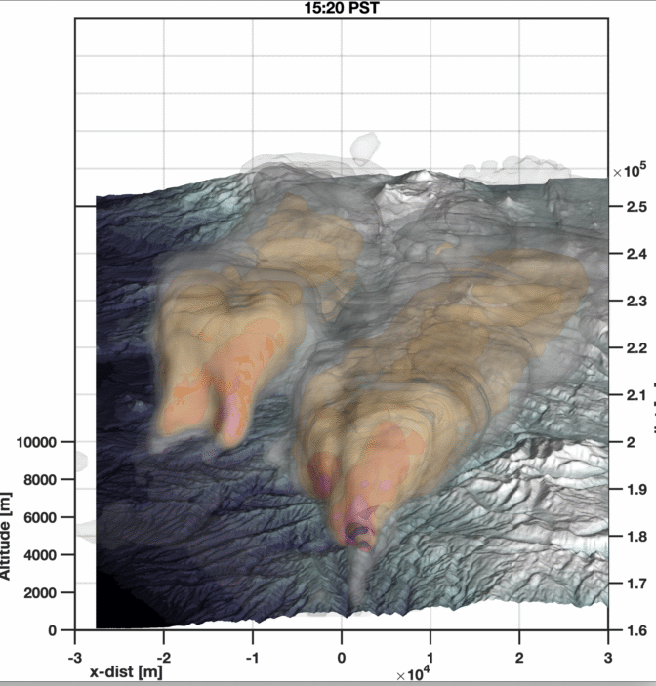
Weather radars provide a powerful real-time tool for understanding the evolution of large wildland fires. IN this talk we present an overview of approaches for understanding wildland fire evolution and plume dynamics using observations from the NEXRAD radar network. We discuss three topics: (1) tracking fire fronts with radar, (2) understanding the distribution of fire-generated winds, including tornadic vortices, and (3) observing plume structures associated with long-range ember transport. The first topic draws on our ability to track local maxima in near surface radar reflectivity associated with regions of active combustion to assemble a time-evolving fire perimeter, which provides a valuable tool for answering the question, “where is the fire now?” The second topic uses radial velocity data in the context of pyrometeor reflectivity in the plume to understand the distribution of intense fire-generated winds, which manifest as flow splitting around the fire’s updraft, inflow in the lee of the updraft, and counter rotating vortex development along the edges of the head fire. Finally the third topic links observations of spot fire and large pyrometeors to radar observed plume structures. We show that there are characteristic lofting and fallout signatures for these materials that may provide early warning for the potential of long-range spotting. Collectively, these analyses support increasing the use of operational, and deployable, radars to monitor and understand large wildland fires.
 - Indicates paper has been withdrawn from meeting
 - Indicates an Award Winner