
Storm Surge / Coastal Flooding warnings have been developed for all of Canada’s coastlines. In addition, in order to provide early notification to the emergency management community of impending events, new products that articulate the risk (likelihood of impact) of coastal flooding out to 6 days have also been developed.
As this program has new products and services that are national in scope, Meteorological Service of Canada’s Training and Career Development Division is training all concerned meteorologists on how to produce coastal flooding forecasts and warnings. As our organization is shifting from threshold-based alerts to impact-based alerts, our division has designed and developed a multi-module course that covers the workflow of issuing such products with that new process in mind. The training incorporates best practices in risk communication, with focus on coastal flooding risk and impact assessment that considers vulnerability and exposure information from our partners.
Our new coastal flooding risk communication product, Coastal Flooding Risk Outlooks, have been published operationally daily over eastern parts of Canada since June 2024. Our new Storm Surge/Coastal Flooding warnings feature ribbon polygon regions mapped along the Canadian coastlines which can provide a more concise area of where the threat will occur. The first such alert was issued over Herschel Island, in the Arctic coast on July 4, 2024.
This presentation will highlight this new process and its current challenges, using recent cases that involved the publishing of these new coastal flooding warnings and risk-based products.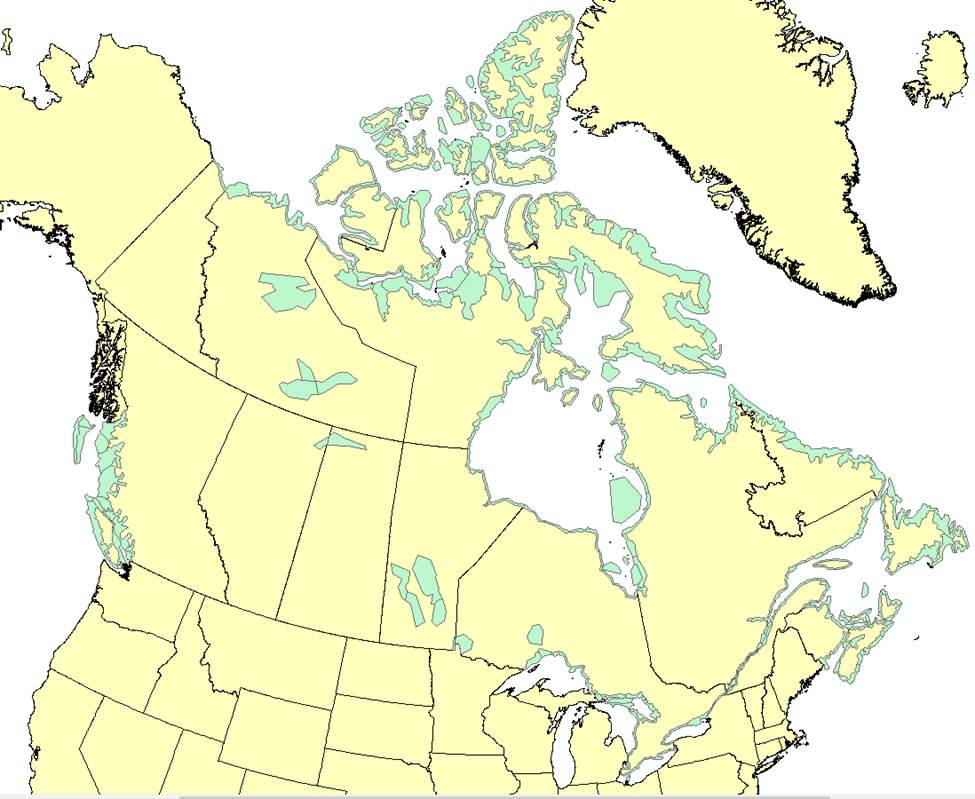
 - Indicates paper has been withdrawn from meeting
 - Indicates an Award Winner