
Tuesday, 14 January 2025: 5:45 PM
334 (New Orleans Ernest N. Morial Convention Center)
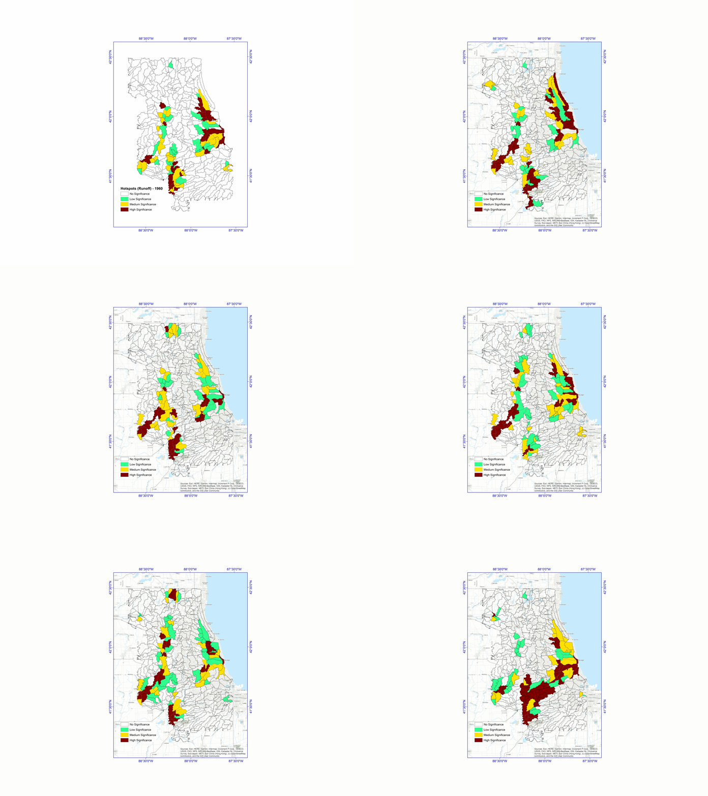
The development of hydrological and hydraulic models is essential for accurately predicting and managing flood risks in urban environments, particularly within the Chicago metropolitan area. This study integrates a crowdsourced validation algorithm to enhance model accuracy by utilizing real-time data from local residents, thereby identifying significant locations historically impacted by flooding with greater precision. By systematically analyzing historical flood event data of 1992, 2013, 2017, 2018, and 2023 over Chicago metropolitan region, this approach ascertains probable locations susceptible to high inflows. Corroborating the historical data on flooded regions using, SWMM-HEC based simulations, SAR interferometry, NDVI from Landsat imageries and contemporary crowdsourced information ensures that the hydrological models simulated over Chicago Metropolitan region using SWMM-HEC-RAS are robust and reflective the actual flood depth and spatial extent information. Advanced pattern recognition techniques and GIS-based feature extractions are employed to examine the relationship between precipitation patterns and their temporal shifts, focusing on the correlation between extreme precipitation events and the identified flood-prone locations. This comprehensive analysis facilitates the superimposition of these critical flood-prone areas onto the existing road and rail infrastructure of the Chicago metropolitan area, providing valuable insights into the vulnerability of transportation routes to flood events. To enhance the resilience of the transportation network, an optimization algorithm identifies the most efficient and safest routes for road and rail transport. By integrating historical flood data, real-time crowdsourced validation, and precipitation pattern recognition, the algorithm determines optimal routing that minimizes flood risk. This approach not only improves the safety of daily commutes but also enhances the effectiveness of emergency responses during extreme weather conditions. The test phase integration of automated SWMM-HEC based model with crowdsourced validation data, historical flood analysis, and sophisticated optimization algorithms on Chicago will provide a baseline scenario to precisely identify significant locations of road and rail infrastructure, ensuring a resilient and efficient transportation network capable of withstanding extreme precipitation and flooding.
 - Indicates paper has been withdrawn from meeting
 - Indicates an Award Winner