
The design of NWPS emphasizes the dissemination of water resources information to support decision-making during high-impact flood events. This presentation will discuss the development and launch of NWPS, customer feedback regarding its improved user experience, enhanced data service delivery, and additional functionalities and services from the National Water Model (NWM) and Flood Inundation Map (FIM).
We will review both current and future efforts within the NWS hydrology program to enhance data dissemination to the public through web services and APIs that adhere to the CARE and FAIR principles. Additionally, we will explore how the Office of Water Prediction (OWP) is expanding data dissemination, interoperability, and delivery mechanisms by adopting cloud-native and Analysis Ready Cloud Optimized (ARCO) data formats. An illustrative example will highlight the Analysis of Record for Calibration (AORC) dataset.
By continuously enhancing data dissemination and embracing modern technologies, the NWS hydrology program aims to better serve the public by increasing accessibility to hydrologic information. The new NWPS Application Program Interface (API) streamlines access to NWS forecast products and decision support tools, enabling users to integrate NWPS information directly into their own applications and services. NWPS will provide forecast guidance at millions of locations that do not currently have river forecast guidance, complementing the official NWS river forecasts available at approximately 4,000 locations.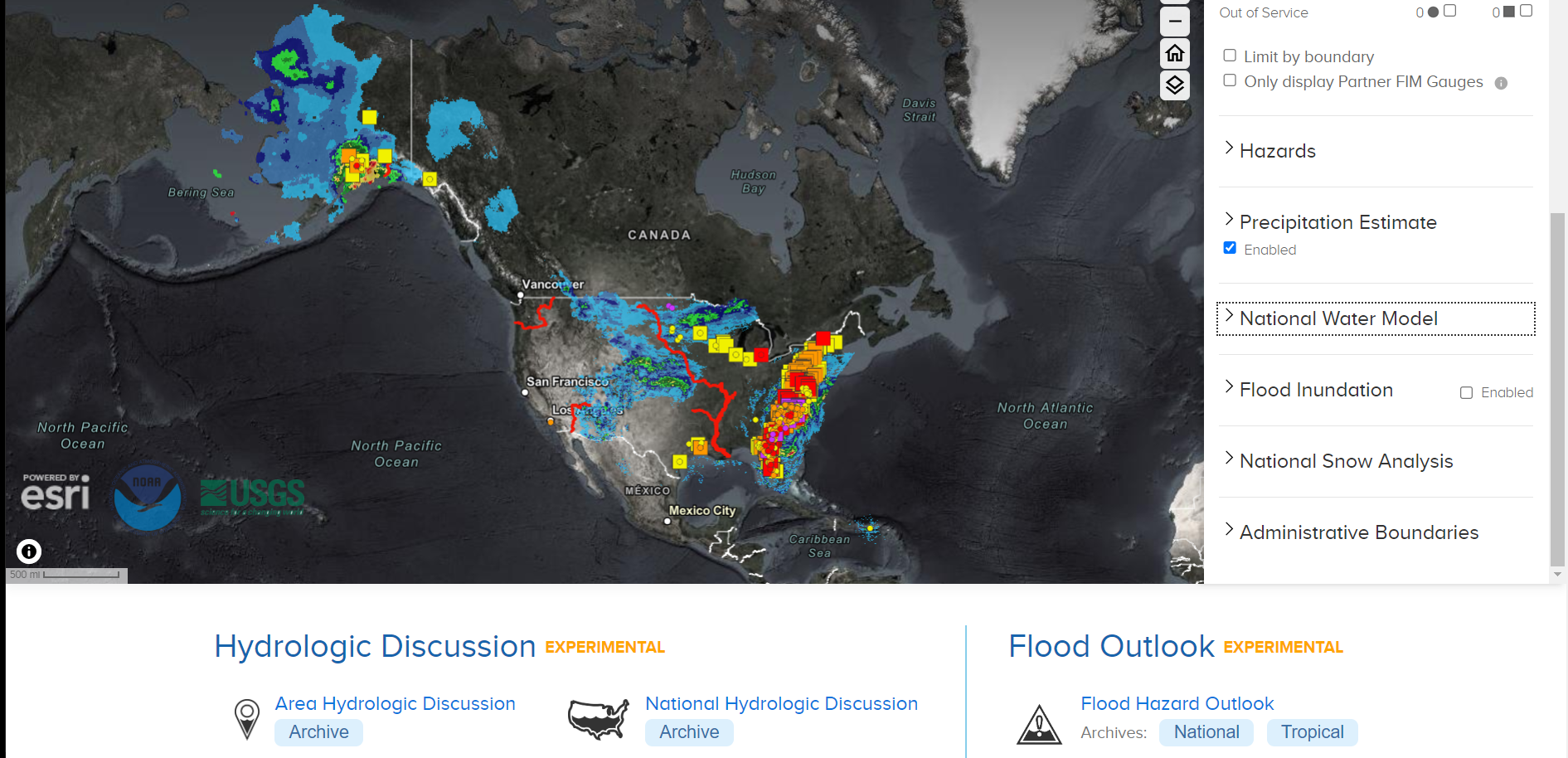
 - Indicates paper has been withdrawn from meeting
 - Indicates an Award Winner