
Tuesday, 14 January 2025
Hall C (New Orleans Ernest N. Morial Convention Center)
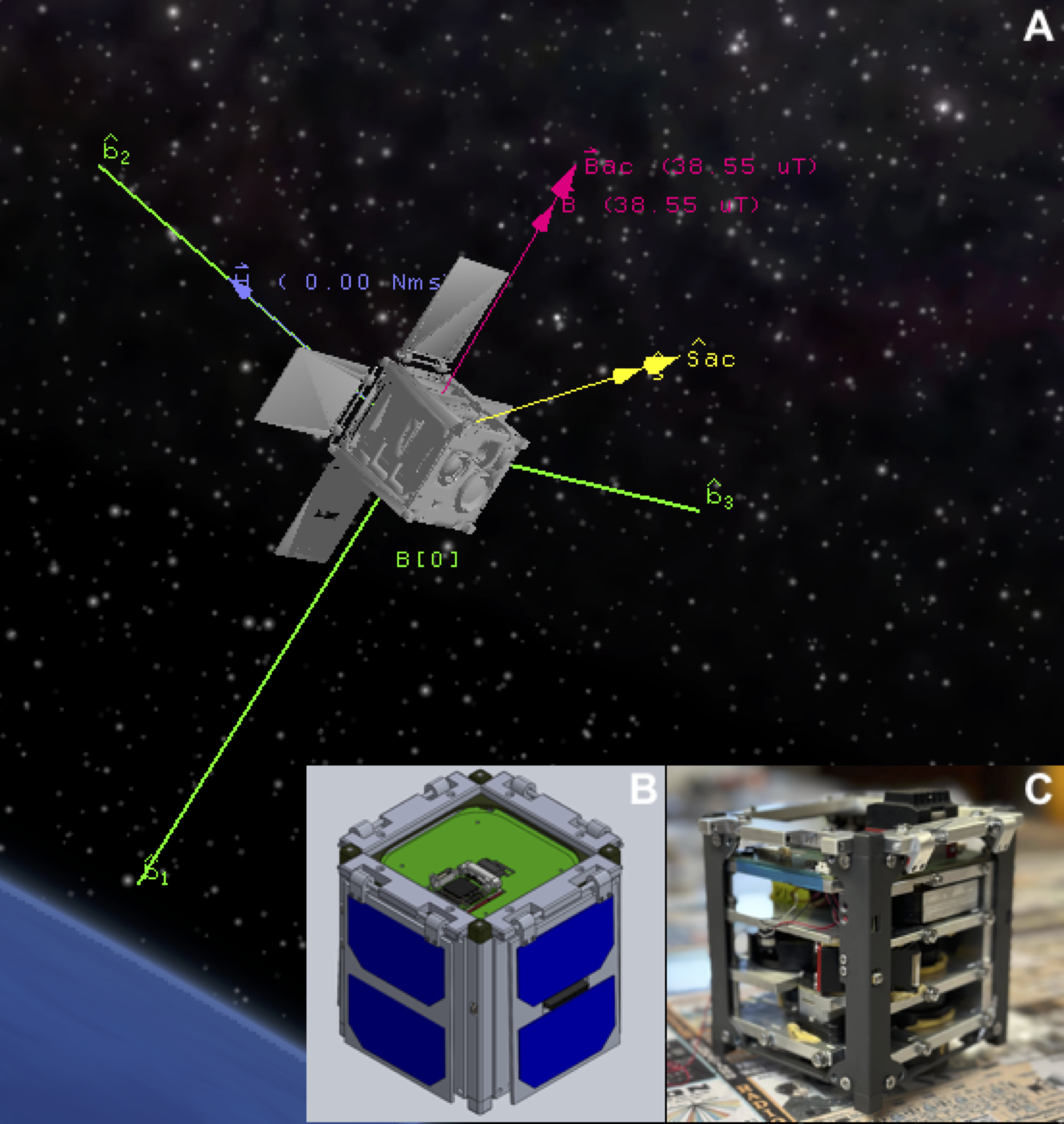
The current satellite infrastructure for hazard monitoring is insufficient to meet the demands of a 21st-century climate characterized by an increased frequency and simultaneity of hazards. Traditional geostationary (GEO) satellites, while providing broad, continuous coverage, are limited by their distance from Earth and because they lack resilience from natural and anthropogenic threats. Low Earth Orbit (LEO) satellites, although closer to the Earth's surface, generally suffer from poor revisit times, making them less effective for monitoring rapidly evolving phenomena such as wildfires and aerosol dispersal unless deployed in large constellations. Another significant limitation of existing orbital platforms is the latency in data distribution, which can delay critical information reaching decision-makers. This latency reduces the overall utility of the data captured, particularly for time-sensitive applications such as wildfire management. To address these challenges, MyRadar, in collaboration with NOAA, is developing the Hyperspectral Orbital Remote Imaging Spectrometer (HORIS) constellation. This initiative focuses on creating a network of LEO satellites specifically designed for wildfire hazard alerting, with onboard artificial intelligence (AI) to enhance operational efficiency. The integration of AI onboard these satellites addresses several critical issues: it reduces the volume of data that needs to be downlinked, enables more extensive processing within the power limitations of small satellites, and allows for the miniaturization and cost reduction of the satellite units, thus supporting their widespread deployment. The HORIS satellites are designed with modularity in mind, allowing for the incorporation of the latest sensor technologies as the constellation is periodically refreshed. The natural orbital decay of these satellites within several years facilitates the regular updating of the constellation, ensuring that it leverages a rapidly changing technological landscape. This iterative approach also ensures that the platform can maintain resilience against potential interruptions to global Earth observation data, critical for effective decision-making in a changing climate.
 - Indicates paper has been withdrawn from meeting
 - Indicates an Award Winner