
For this work we modified the existing MVCM to ingest both VIIRS M-bands (750m spatial resolution) and I-bands (375m spatial resolution) and created a new set of tests, while maintaining those from the original algorithm that were still relevant for the I-bands. We then fine-tuned the old thresholds and defined additional ones to account for the new tests. As opposed to MODIS, that has high-resolution bands only in the visible, VIIRS I-bands extend from the visible (0.64µm) to the infrared window (11µm), allowing for multiple spectral tests for cloud detection to be performed during both daytime and nighttime.
Here we show how we use VIIRS high-spatial resolution bands (I-bands) to better detect fine structures with the High-Resolution MVCM, and touch on some of the improvements to the algorithm since the first early results were presented last year. Moreover, we will show some case studies to highlight the benefits of using the higher spatial resolution and discuss on the impact of detecting small scale structures on the global cloud coverage.
The high-resolution cloud mask is released alongside the existing one as an additional NASA operational product. This will help building an unprecedented multi-decadal record across multiple platforms from early 2012 with S-NPP and well into the 2030s and beyond with NOAA-20, NOAA-21 already flying, and the future JPSS-4 and JPSS-3 currently scheduled for 2027 and 2032, respectively.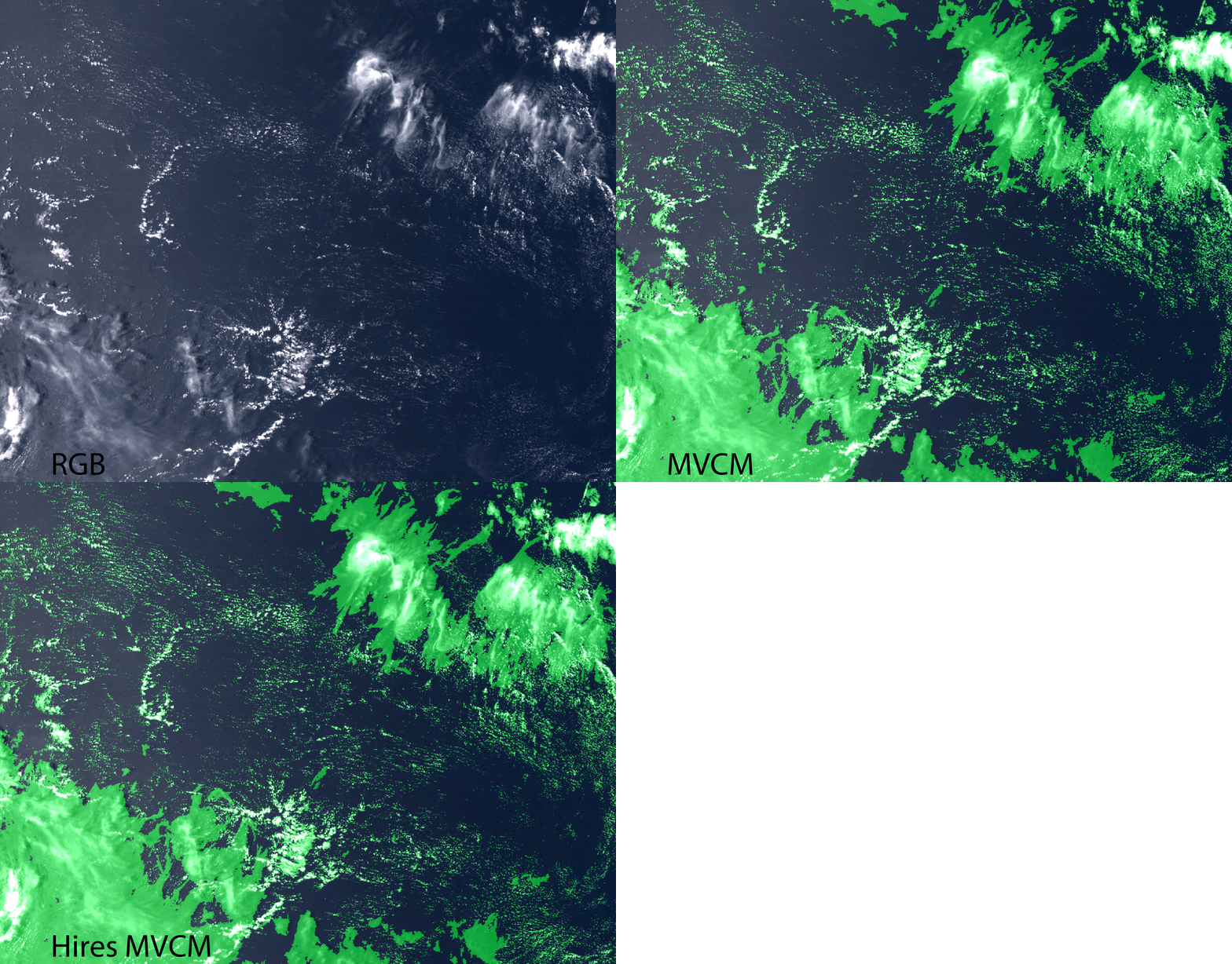
 - Indicates paper has been withdrawn from meeting
 - Indicates an Award Winner