
We examine ambient conditions and evidence for microphysical processes that occur in cloud sandwiches, particularly ice crystal growth and sublimation. We use data from the NASA IMPACTS (Investigation of Microphysics and Precipitation for Atlantic-Coast Threatening Snowstorms) research campaign over three winter seasons. Data sets include flight camera videos to determine the visual presence of cloud sandwiches in storms, in situ ambient condition measurements from the NASA P-3 research aircraft to determine temperature, relative humidity, and particle concentrations, and airborne radar data from the NASA ER-2 research aircraft to look at the radar signatures of these cloud sandwiches. We also analyze high-resolution ice particle images taken by the PHIPS (Particle Habit Imaging and Polar Scattering) probe on the NASA P-3 to characterize ice shapes, degree of riming, and evidence of sublimation.
Figure 1: An image of a cloud sandwich from the NASA IMPACTS P-3 flight on 17 January 2022 at 1415 UTC. The plane is flying through a more transparent layer with cloudy layers both above and below. Snow was falling at the surface.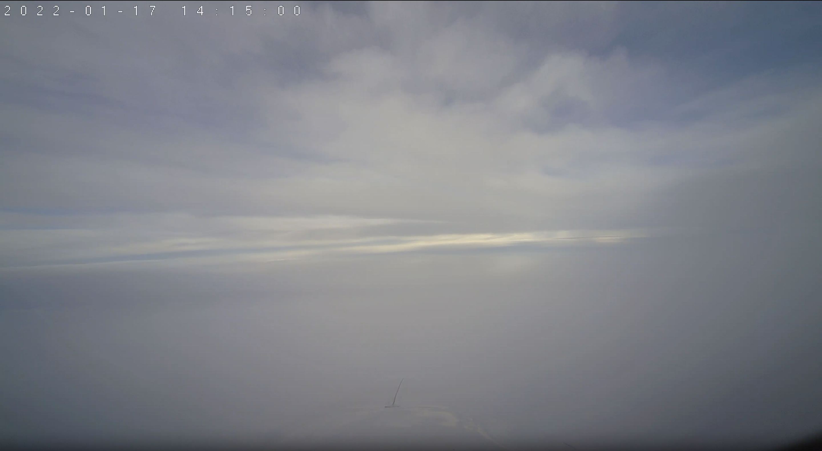
 - Indicates paper has been withdrawn from meeting
 - Indicates an Award Winner