
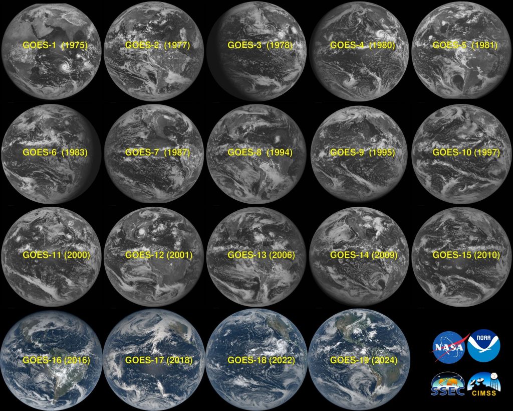
GOES (Geostationary Operational Environmental Satellites) has been our “eye in the sky” for nearly 50 years, helping scientists, forecasters, and emergency managers monitor dramatic events unfolding on Earth, the sun, and in space. Since the launch of GOES-A/1 on October 16, 1975, these satellites have continuously monitored everything from explosive volcanic eruptions and powerful hurricanes to intense blizzards and fast-moving wildfires. This talk will take you on a journey through time, showcasing loops from each GOES generation. Watch as we evolve from the two spectral bands of the GOES-A series imager to the sixteen spectral bands on the modern GOES-R series Advanced Baseline Imagers (ABI). While often dubbed 'weather satellites,' GOES truly are environmental satellites, capturing the natural, breathtaking forces and events that have shaped people’s lives.
 - Indicates paper has been withdrawn from meeting
 - Indicates an Award Winner